

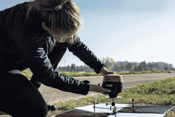
How to Use Aerial Mapping GCPs for High-Precision Drone Mapping
Drone mapping has transformed industries such as construction, agriculture, surveying, mining, and infrastructure inspection. However, capturing aerial images is only one part of creating accurate maps. The quality of the final data depends on how well the images are positioned and corrected. Aerial mapping GCPs (Ground Control Points) help improve the accuracy of drone-generated maps…